Inside the model
Know the landscape your bees are working.
BeeLine turns open habitat data, bloom timing and the well-understood shape of a honeybee foraging trip into a practical map for beekeepers.
Map your hive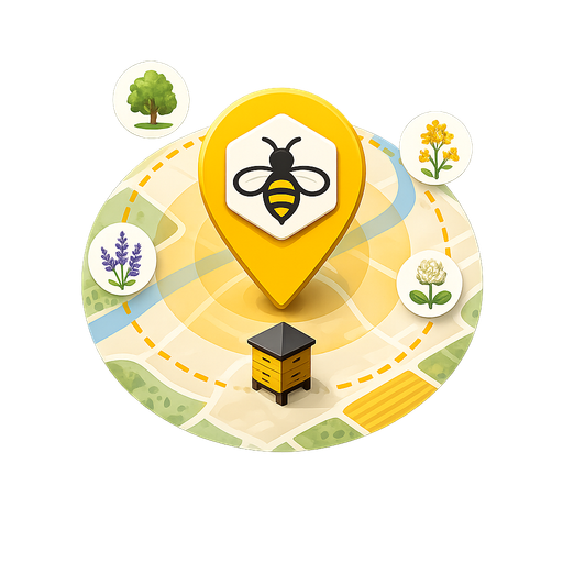
A prediction, not a tracker
Where would a bee choose to fly?
Worker bees are not carrying GPS devices. BeeLine does not claim to show their exact journeys. It estimates the destinations that make biological sense: rich nectar and pollen sources, in bloom now, with nearer sources favoured over equally good ones farther away.
Most honeybee foraging happens within roughly one to two kilometres of the hive, though bees can travel around five kilometres when worthwhile forage demands it. BeeLine maps that wider range while applying a strong distance cost to every candidate destination.
The forage score
Four signals shape every ranking.
-
01
Forage value
Research-grounded relative nectar and pollen values give richer habitats a stronger starting score.
-
02
Season and bloom
Plant bloom windows and local growing degree days adjust the map as the flowering season moves.
-
03
Flight distance
A distance-decay curve favours nearby rewards while retaining exceptional forage farther from home.
-
04
Source confidence
Your own observations rank above surveyed habitats, which rank above broad open-map classifications.
Local context
Built for beekeeping across Britain and Ireland.
BeeLine combines OpenStreetMap land cover with authoritative habitat inventories where regional services are available. It automatically selects the appropriate habitat, bee-health and yellow-legged hornet guidance for Northern Ireland, Ireland, Scotland, England or Wales.
Live weather helps answer whether bees are likely flying today. A forage calendar shows how availability changes through the year and highlights potential lean periods such as the June gap.
- 1–5 km
- Foraging range modelled around each hive
- Live
- Weather, habitat and biosecurity requests
- Local
- Your hives and sightings stay in this browser
Private by design
No account. No hive database.
BeeLine is a client-only web app. Hive locations and flower sightings are stored on your device in browser storage, not sent to a BeeLine server. Live map, habitat, weather, elevation and biosecurity information is requested directly from open third-party services.
Transparent sources
Open data, visible assumptions.
The map uses OpenStreetMap, national habitat inventories, Open-Meteo weather and elevation, NBN Atlas and GBIF occurrence records and published UK nectar and pollen research. Model assumptions and data provenance are documented with the source code.
Ready to explore?